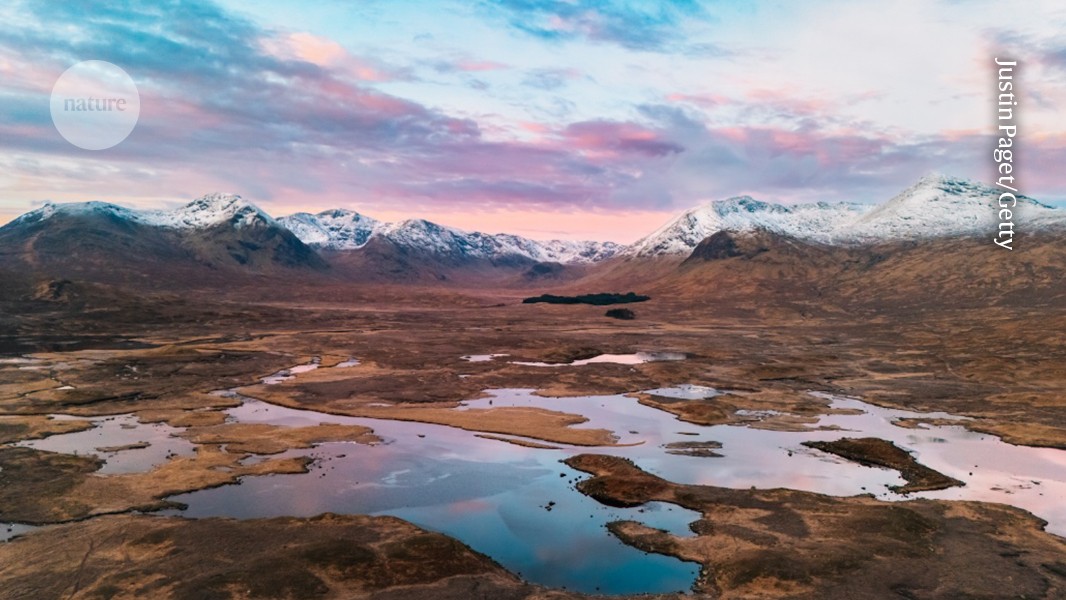
High-resolution maps of European wetlands have been developed through the analysis of satellite images using a machine-learning algorithm. This initiative, published on July 20, 2026 in *Nature*, aims to significantly aid conservation efforts by identifying previously overlooked wetland ecosystems.
The project involved utilizing a machine-learning algorithm to analyze extensive satellite imagery, resulting in detailed and high-resolution maps of wetland environments across Europe. These maps reveal patches of these crucial ecosystems that were not previously recognized or documented with sufficient detail.
The creation of these maps is intended as “a boon for conservation efforts,” according to *Nature*. The improved understanding of wetland distribution will allow conservationists and policymakers to better target resources and strategies towards protecting these valuable habitats. The detailed mapping allows for more accurate assessments of wetland health, changes over time, and the impact of environmental factors.
The research was published online on July 20, 2026, with a DOI of 10.1038/d41586-026-02211-2.
We don't rate truth. We strip the spin and show you which perspectives covered the story. You decide.
Read the original coverage
💬 Comments
📜 Comment Policy